Minnesota River Bottoms Community Run
Minnesota River Bottoms Community Run is a trail running and running race on December 12, 2026 in Minneapolis, MN.
- Date
- December 12, 2026 (34 days to go)
- Sports
- Trail RunningRunning
From the Organizer
The Minnesota River Bottoms Community Run is a low-pressure, self-supported community adventure run designed to capitalize on late-season fall race fitness. Set along the scenic urban trail corridor of the Minnesota River Valley, choose your own adventure up to a full 50K journey.
Event Schedule & Logistics
- Event Dates: Saturday, Dec 12th
- Start Time: 8:00 AM
- Start / Main Meetup Location: Minnehaha Falls (Porta potty and parking available)
- After Party: Venn Brewing (Domino's pizza order or food truck)
Route Options & Access Points
Choose your turnaround point based on personal goals and distance preferences or meet us halfway.
-
Minnehaha Falls to the river raft, a few miles past Lyndale Ave Parking Lot RT - ~50K - GPX file
-
Falls to Old Cedar Ave Bridge RT - 23 miles
-
One way options as well! I’m happy to shuttle people back to their car after our hangout
- Want Extra? 43 miles round trip from Minnehaha Falls to the Hwy 169 / Bloomington Ferry Bridge and back
-
Full Course GPX to Bloomington Ferry Bridge: Garmin Connect Route
Course Description
We'll meet at the top of Minnehaha Falls, from there follow the stream to the Mississippi. Then head towards Coldwater Spring (Mni Owe Sni) to run through the prairie trails. From there we'll follow the bike path to the Thomas C Savage Visitor Center. Following a trail behind the building to cross on Mendota Bridge, down to Sibley House historical site. From there we'll be following along the flat Minnesota River Bottoms. FYI, at mile 5 there is a board planked tree trunk crossing over a stream. Next we'll get to the Old Cedar Ave Bridge. There is a parking lot and porta pottie, and I'll plan to drop water here. The next few miles of trail has some smaller hills and optional routes to explore until getting to the Lyndale Ave Parking Lot. No facilities are here, but I'll plan to drop water again. If you go another mile or so, then you'll hit the halfway mark for 50K. Most people will turn around here if not before. A mile past is the fun raft crossing. But if the stream is low or frozen, a board planked tree trunk crossing. For those that want Extra, the trail continues all the way to the Bloomington Ferry Trail Bridge. There is a parking lot with no facilities here as well.
Gear & Self-Reliance Checklist
Because this is a completely self-supported effort, participants are expected to carry necessary supplies and anticipate early winter conditions along the river.
-
Hydration & Nutrition: There is no water along the route. I'll have a cooler of gallons of water jugs, placed along the route. Bring a water filter for emergency refills.
-
Apparel & Layers: There’s no bad weather, just bad clothing!
- We'll start in the dark, so have a headlamp, hopefully we'll finish before it's dark.
-
Footwear & Extras: There should be no wet crossings, but snow…
-
Porta potties: Snelling Visitor Center and Old Cedar Ave bridge. No facilities along the route.
Please reach out to the organizer, Scott Josephson, with any questions!
Events
Typical Conditions
It's too far out for a forecast, so here's what weather on this date is normally like in the area. A race day forecast will replace this as race week approaches.
Typical High
30°
Typical Low
16°
Chance of Rain
30%
Based on US Climate Normals data from Minneapolis/St Paul Ap, 3 mi from the venue.
About Minneapolis, MN
Population
426,845
as of 2023
City Elevation
820 ft
Nearest Airport
MSP
Minneapolis–Saint Paul International Airport / Wold–Chamberlain Field · 8 mi
Time Zone
Central Time
From Endurance Grid
A big city race. Expect multiple lodging options and plenty to do the day before.
Race Location
What Are You
Waiting For?
Every finish line starts with a single decision. Claim your spot at Minnesota River Bottoms Community Run, put it on the calendar, and turn “someday” into a start date.
34
Days to train
- Race
- Minnesota River Bottoms Community Run
- Date
- December 12, 2026
Get Ready for Race Day
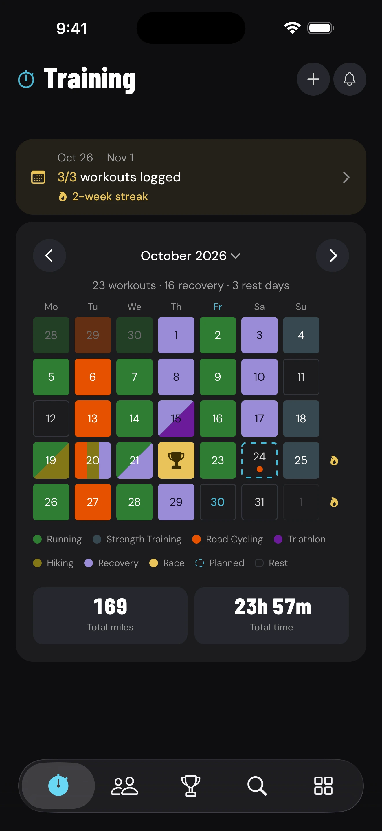
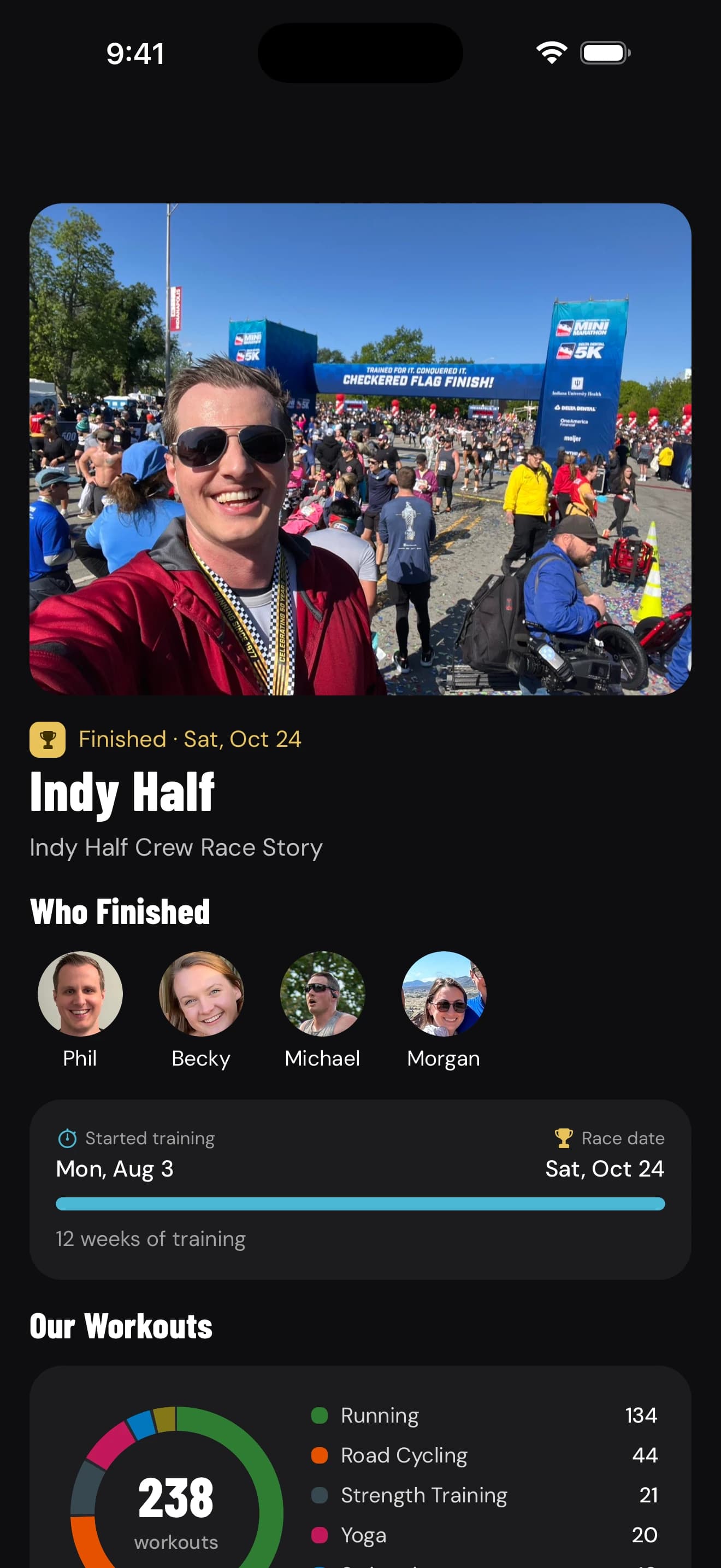
Plan your training, log every workout, and track your progress all the way to race day in the Endurance Grid app.
More Trail Running races near Minneapolis, MN
Frequently Asked Questions
What is the Minnesota River Bottoms Community Run?
When and where is the Minnesota River Bottoms Community Run?
How do I register for the Minnesota River Bottoms Community Run?
Minnesota River Bottoms Community Run
Dec 12, 2026